Cook County Assessor's Property Scraper
Nenodata scopes and manages a Cook County Assessor's Property Scraper workflow that converts approved public parcel and assessment records into structured datasets for analysis, monitoring, and delivery into your agreed systems.
- Sample-first source and field review
- Structured records with validation metadata
- One-time or recurring delivery where scoped
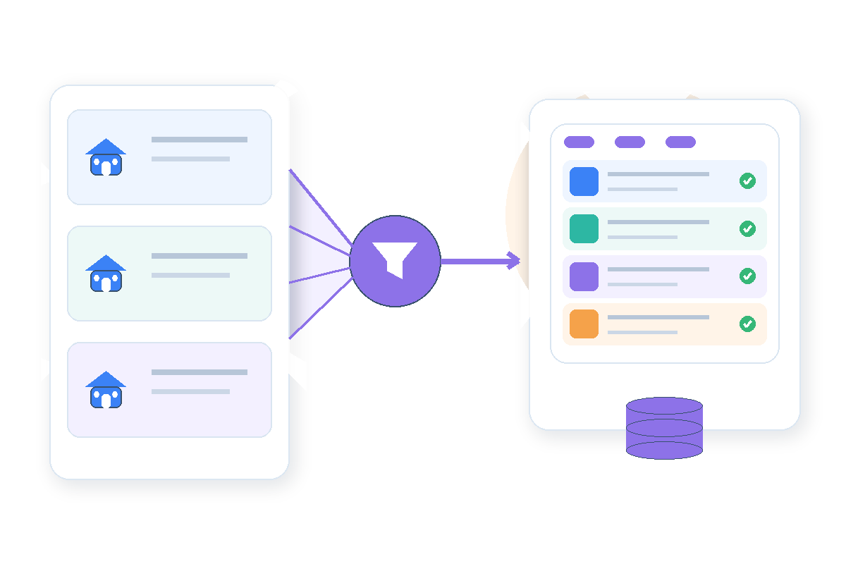
Turn Public Property Records Into a Repeatable Data Workflow
Teams building Cook County property intelligence often rely on portal lookups, manual exports, and spreadsheets that fall behind when PIN formats, assessment labels, or source layouts change between tax years.
A Cook County property records scraper approach still needs normalization—parcel identifiers, addresses, assessed values, exemption labels, and township context may require consistent field naming before records enter analytics or product systems.
Internal collectors add operational burden: source monitoring, schema updates, and exception handling distract data teams from using Cook County parcel data extraction outputs in portfolio, research, and enrichment workflows.
What the Cook County Assessor's Property Scraper Provides
Nenodata scopes managed Cook County assessor data scraper workflows around approved public sources, required parcel and assessment fields, geography and tax-year inputs, validation rules, refresh cadence, and delivery destinations for property research, monitoring, enrichment, and analytics programs.
Engagements may include parcel identity, address context, assessed values, property characteristics where publicly shown, exemption or classification labels where available, source references, collection timestamps, and validation metadata when those elements are confirmed during feasibility review.
Collection is limited to approved public or permissioned records. Login-protected, private, restricted, or non-public information remains out of scope. Broader programs may extend through Nenodata fully managed web scraping services. Source sets, fields, geography, tax years, cadence, and destinations must be confirmed during feasibility review.
Representative Sample Output
Review an illustrative parcel record grouped by identity, assessment, property context, source metadata, and validation fields before broader production begins.
Illustrative example — final fields and structures are confirmed during scoping.
This table is illustrative only. It is not a live customer record, production API response, or guarantee that every column is available from every approved source or tax year.

| Field group | Column | Example |
|---|---|---|
| Parcel identity | pin | EXAMPLE-PIN-001 |
| Parcel identity | property_address | 123 Illustrative Street |
| Assessment | assessed_value | null |
| Assessment | tax_year | YYYY |
| Property context | property_class | Illustrative class label |
| Property context | township | Illustrative Township |
| Source metadata | source_reference | approved-source.example |
| Source metadata | collected_at | YYYY-MM-DDTHH:mm:ssZ |
| Validation | validation_status | pass_with_exceptions |
| Validation | exception_reason | Field availability subject to source review |
The table below shows one way a parcel dataset may be structured. Final fields and tax-year coverage are confirmed during sample review.
Property Data Fields and Outputs
Potential field groups depend on the approved public source, agreed schema, geography, tax-year scope, and technical feasibility confirmed during scoping.
Parcel identity
PINs, property addresses, township, municipality, and related public location context where displayed and included in scope.
Assessment values
Assessed values, market or equalized signals, tax-year context, and related public assessment fields where available on approved sources.
Property characteristics
Property class, land and building context, square footage or lot signals, and related public characteristic fields where shown.
Exemption and classification context
Exemption labels, classification codes, or related public signals where displayed and approved for the intended use case.
Ownership and transaction signals
Public owner or deed-related labels only where permitted, publicly displayed, and approved during scoping—not unrestricted personal outreach data.
Source and validation metadata
Source references, collection timestamps, record status, validation status, and exception notes for traceability and review.
Delivery formats
CSV, JSON, API-oriented payloads, scheduled files, webhooks, databases, CRM workflows, and warehouse-ready files when confirmed during scoping.
Source Scope and Data Limitations
This service works with approved public or permissioned property records only. Nenodata is an independent data-services provider and is not affiliated with, endorsed by, or authorized by Cook County, the Cook County Assessor's Office, the Cook County Treasurer, the Cook County Clerk, the Board of Review, or any other county office named on this page.
Public assessment and parcel records are historical administrative observations. They must not be represented as current tax bills, official appeal outcomes, lending determinations, legal advice, or investment recommendations without independent verification.
Customers remain responsible for confirming that collection, storage, retention, and downstream use are permitted for each source and workflow. Source terms, attribution obligations, and permitted commercial uses must be reviewed during scoping.
Use Cases
Parcel research datasets
Research teams assemble scoped parcel and assessment observations for market and property-context analysis without treating public records as transaction-grade evidence.
Assessment monitoring
Portfolio teams refresh agreed assessment fields for selected PIN sets when recurring delivery is contracted and source behavior supports the workflow.
PropTech product enrichment
Product teams supplement internal property masters with source-linked parcel context through a Cook County property data API handoff or file delivery where scoped.
Tax and valuation research support
Analysts use structured public assessment context for internal research workflows. The service does not provide tax appeal outcomes, certified valuations, or legal determinations.
Portfolio property intelligence
Operations groups monitor scoped property and assessment signals for agreed portfolios when refresh cadence, geography, and field availability are confirmed during sample review.
Geographic analysis by township or municipality
Analytics teams group normalized records by township, municipality, or other agreed geography fields for internal reporting through a Cook County assessment data service scoped to approved fields.
Who This Service Is For
This service is for PropTech product and data teams, real estate research groups, property-management technology providers, tax and assessment analysts, municipal-data vendors, and internal data engineering teams that need structured Cook County property observations with sample-first scoping.
It is not positioned for individual one-off lookups, official closing or title determinations, certified tax advice, or buyers seeking transaction-grade due diligence from historical public records alone.
Broader property-data programs may also use Nenodata data extraction services where multi-source property workflows are in scope.
How It Works
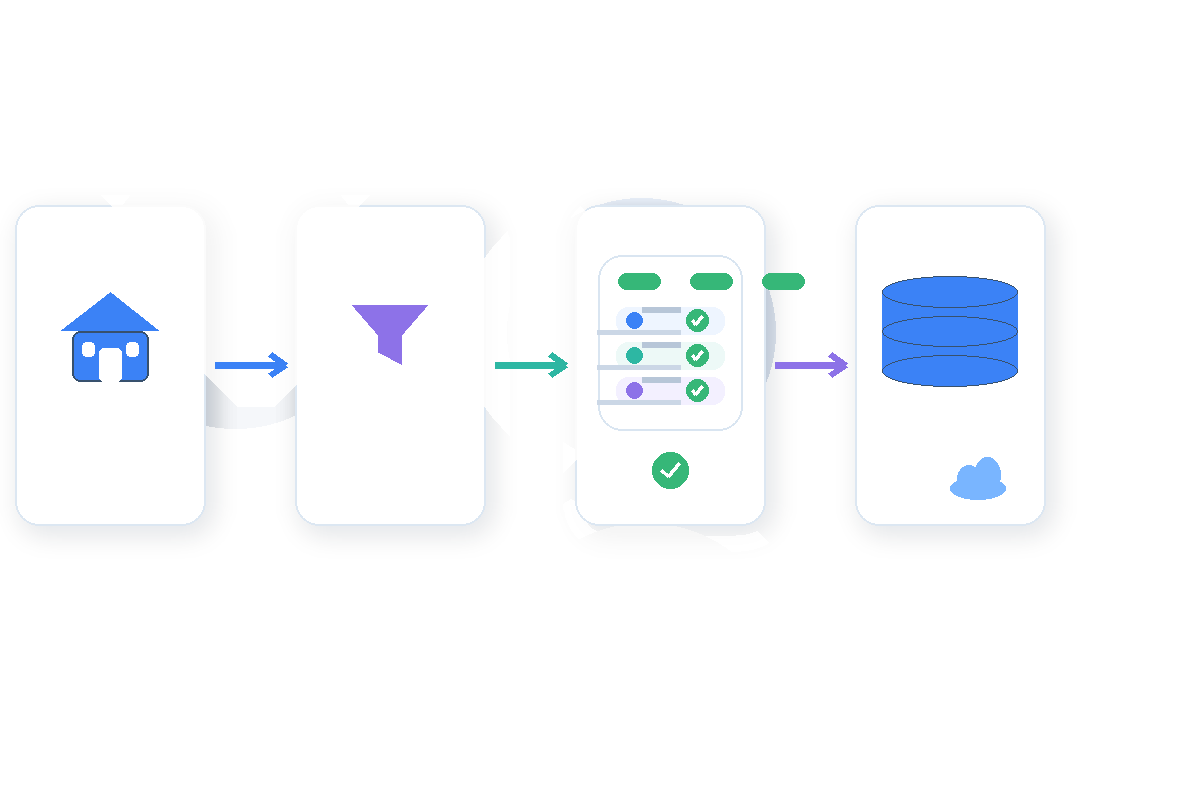
- 1
Share your requirements
Share representative source URLs, PINs or addresses, required fields, geography, tax years, intended use, cadence, and delivery destination.
- 2
Review source route and feasibility
Nenodata validates approved public sources, field availability, and delivery feasibility through a representative sample before broader rollout.
- 3
Normalize, validate, and report exceptions
Records are normalized and validated so missing values, source references, timestamps, and exception statuses remain visible.
- 4
Deliver and maintain
Structured outputs are delivered through the agreed method, with maintenance included when contracted.
Why Teams Choose Nenodata
Managed operational ownership
When included in scope, Nenodata maintains agreed handling for source, schema, and delivery changes rather than shifting every update to internal engineering.
Source-aware scoping before scale
Requested sources, geography, tax years, fields, and volume are reviewed before production scale rather than assumed from a generic export.
Validation and traceability in the output
Agreed validation rules, source references, and exception reporting help teams assess records responsibly rather than treating incomplete observations as confirmed facts.
Maintenance when sources change
When maintenance is contracted, Nenodata monitors agreed source or layout impacts and updates the scoped workflow rather than leaving every change to internal collectors.
Delivery around your existing systems
Outputs can be scoped for files, API-oriented handoffs, webhooks, databases, CRM workflows, and warehouses when destination requirements are confirmed during scoping.
Integrations and Delivery
Delivery methods are agreed during scoping. CSV and JSON are commonly scoped formats. API delivery, scheduled feeds, custom pipelines, files, webhooks, databases, CRMs, and warehouse destinations may be considered after technical scoping.
Broader property-data packaging may extend through Nenodata Real Estate API capabilities where API-oriented property workflows are in scope. Excel, XML, GIS files, dashboards, alerts, and other formats require separate confirmation.
Frequently Asked Questions
Request a Representative Property-Data Sample
Share representative source URLs, PINs or addresses, required fields, geography, tax years, expected volume, one-time or recurring need, and preferred delivery format so Nenodata can scope the next step.
Include source examples, required fields, geography, tax years, cadence, and destination. Review pricing and custom plans or contact Nenodata through the contact flow.